B.C.'s Okanagan Valley was quick to turn on the rainfall switch when the calendar flipped to March, an Environment Canada meteorologist says.
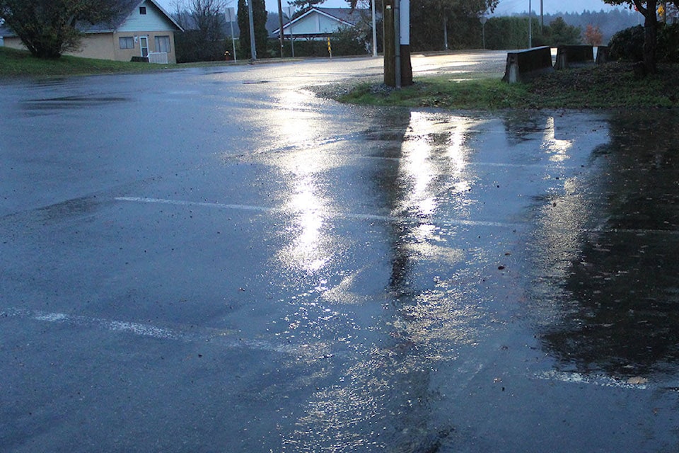
After starting 2025 by posting one of the driest months on record, communities across the Okanagan experienced a significantly wetter-than-normal March.
Chris Doyle, a meteorologist at the federal department, says Kelowna, Vernon and Penticton saw more than 200 per cent of their normal precipitation marks for the month.
Temperatures, meanwhile, hovered between 1 to 2 C above average in all three communities.
"The atmosphere is sort of like rolling a dice," Doyle began. "We got snake eyes for winter and a pair of sixes for March."
In January, all three cities failed to record more than 10 millimetres of precipitation for the month.
Doyle said winter overall in the Okanagan was "abnormally dry," with Vernon recording its third-driest season on record. Environment Canada recognizes winter from Dec. 1 to Feb. 28.
"We saw roughly 50 to 60 per cent of the expected precipitation for winter," Doyle said. "March was a bit of a godsend I think."
The meteorologist added that Penticton recorded 55.3 millimetres of precipitation (250 per cent or normal) in March.
Kelowna experienced 45.5 millimetres of rain, which represented the city's second-wettest March since the late 1890s.
The wet trend also moved through Vernon, where the city picked up 55.5 millimetres of rain and saw 214 per cent of its normal precipitation levels.
"We got a couple of atmospheric rivers to develop off-shore (in southwest B.C.) and a significant amount of that precipitation made into the coast range and the Okanagan," Doyle said.
The region's forecast won't include a chance of showers starting Thursday (April 3), Environment Canada said. Sunny skies and daytime highs of between 13 to 19 C will instead headline the Okanagan's weather outlook until the beginning of next week.
"There will be an early burst of warmth, especially on Saturday and extending into Sunday," Doyle said. "They'll be temperatures you expect to see at the end of April, but there will be a reversion closer to the average condition after this weekend."


