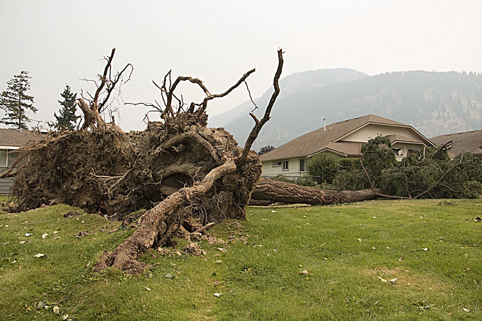
Watch out for windy weather beginning tomorrow.
In a special weather statement for the Shuswap and the Okanagan Valley from Penticton to Vernon, Environment Canada is reporting a cold front will develop over the Central Interior Friday morning and slide southeastward before dissipating over the Southern Interior Friday evening.
Most Southern Interior regions are expected to experience strong southwesterly or westerly winds gusting up to 60 km/h Friday afternoon ahead of the front.
Strong northwesterly or westerly winds gusting up to 60 km/h will develop across most of the Shuswap, Okanagan and Columbia regions Friday afternoon in the wake of the front.
Isolated thunderstorms are also expected to develop across the Central Interior, Columbia region, South Thompson and Shuswap areas of the southwest interior Friday afternoon and evening.
The statement also indicates brief showers with strong wind gusts up to 80 km/h are possible near thunderstorms.


