The balmy days of summer have barely passed and already snow warnings are being issued.
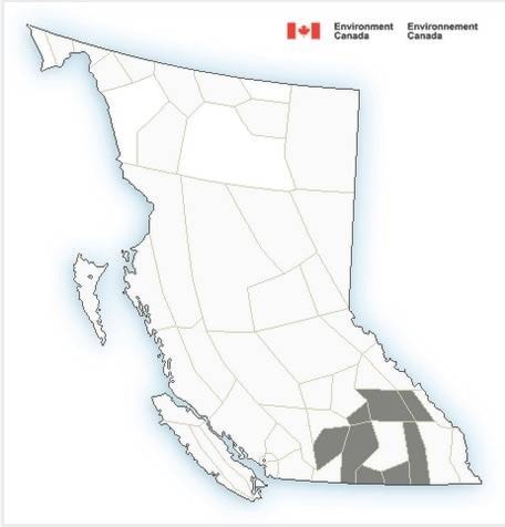
Environment Canada released a special weather statement early this morning for highways throughout central and southern B.C. Of note locally, the Okanagan Connector, from Merritt to Kelowna may be getting �㽶��Ƶֱ���its first taste of winter at higher elevations this morning�㽶��Ƶֱ��� says the national meteorological agency.
�㽶��Ƶֱ���A cold front over the southeastern interior will exit the province this morning,�㽶��Ƶֱ��� reads
�㽶��Ƶֱ���The cold air in the wake of the front will continue to hang around through the upcoming week. Don�㽶��Ƶֱ���t be surprised if you see a few flakes over mountain top elevations in the next few days which may have little impact on travellers other than a change in the view.�㽶��Ƶֱ���
The good news is if snow makes an appearance on roadways, at most a few centimetres can be expected.
�㽶��Ƶֱ���With road temperatures still warm from a long and hot summer, the snow is not expected to stick,�㽶��Ƶֱ��� said Environment Canada.
�㽶��Ƶֱ���However, with the possibility of snow in mind, high elevations travellers would be wise to prepare for winter driving conditions. The first snows of the season are usually slushy but can affect roadways.�㽶��Ƶֱ���
Weather in the mountains can change suddenly resulting in hazardous driving conditions.
Please continue to monitor alerts and forecasts issued by Environment Canada. To report severe weather, send an email to ec.tempetepacifique-pacificstorm.ec@canada.ca or tweet reports using #BCStorm.


